Steer Home

Main navigation (UK)

  • Sectors
    • Transport
      • Active travel
      • Aviation
      • Freight & logistics
      • Ports & maritime
      • Rail, bus & transit
      • Roads, bridges & tunnels
      • Urban & rural mobility
    • Places & communities
      • Commercial real estate & housing
      • Community planning
      • Economic development & regeneration
      • Education & health
      • Leisure, arts & culture
      • Sports & major events
    • Resources
      • Energy
      • Property & land
      • Telecommunications & data
      • Water
  • Services
    • Advisory & financial
      • Market research & intelligence
      • Demand & revenue forecasting
      • Business & financial modelling
      • Capital programme advice & assurance
      • Project financing
      • Commercial & technical due diligence
      • Economic impact
    • Strategy & policy
      • Policy development
      • Business case & advocacy
      • New technologies
      • Regulation & competition
      • Sustainability & climate resilience
      • Strategy & management consulting
    • Planning, delivery & experience
      • Community engagement
      • Network design & operation
      • Cost modelling & strategies
      • Feasibility design & detailed design
      • Information & wayfinding
      • Infrastructure & development planning
    • Underpinning capabilities
      • Data science & analytics
      • ESG
      • Equity & inclusion
      • Monitoring & evaluation
  • Projects
  • Insights
  • Events
Regions
  • Global
  • North America
  • Latin America
  • Europe
  • UK & Ireland
  • India
Search
Contact
  1. Home
  2. Projects
  3. Modernizing the +15 wayfinding system in downtown Calgary
The City of Calgary

Modernizing the +15 wayfinding system in downtown Calgary

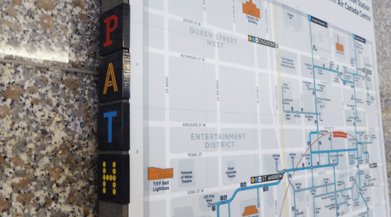
Snaking through skyscrapers across the City’s downtown, the +15 Skywalk is a 16km indoor pedestrian network of elevated walkways and 86 bridges connecting over 100 buildings. +15 is well-used by people who live, work, and visit downtown, but navigating it can be challenging.

The City of Calgary commissioned Steer to develop a clear wayfinding system that improves accessibility and makes it easier to use the +15 Skywalk network, attracting more people and creating a better overall experience. Modernizing the +15 wayfinding system will also help integrate the Skywalk with transit and street-level amenities, supporting Calgary’s downtown and local businesses.

To understand users’ needs as they navigate +15, we carried out an extensive online programme of public and stakeholder consultation, which revealed long-standing wayfinding issues and users’ aspirations for a seamless wayfinding experience.

Equipped with these insights, we developed a wayfinding strategy that includes a new signage system and network map, as well as guidance for implementation, governance, and long-term maintenance of the system. Our design draws inspiration from the original +15 identity designed in the 1980s by Lance Wyman while shifting the system toward a more modern, all-encompassing identity.

We are currently supporting the City as it moves toward implementing the 1000+ signage elements that make up this comprehensive wayfinding system.

On
Steer group

We are Steer

Yes, you are in the right place. After 40 years, we have changed our name from Steer Davies Gleave to mark our growing international footprint and our expanding portfolio into sectors beyond transport.

Explore our new website to learn more about Steer: who we are, how we work and what our future holds.

Related projects

  • Toronto path
    City of Toronto & Financial District BIA, Canada

    Redesigning the wayfinding system for Toronto PATH

    Toronto’s PATH is the world’s largest underground retail complex. It connects the office towers in Downtown Toronto, Canada and provides an important...

    Read more

  • Toronto city
    City of Toronto, Canada

    Delivering a multimodal wayfinding strategy for the City of Toronto

    The TO360 wayfinding strategy supports walking as the connecting mode that enables multi-modal transportation in Toronto. TO360 provides information...

    Read more

  • Brick Lane Threads banner
    London Borough of Tower Hamlets

    Brick Lane threads connectivity & wayfinding strategy

    Brick Lane is blessed with a strategic location in East London, it is well connected and at the centre of an array of attractions of local and city...

    Read more

Complex challenges.
Powerful solutions. 


Steer, part of the wider 'Steer Group', which includes:

Steer logoAmberside Advisors logo

EvoInfra logo

Fourth Economy logoSteer ED logo

Footer (UK)

  • Sectors
  • People
  • Services
  • About
  • Projects
  • Careers
  • Insights
  • Contact
  • Events
  • Our impact

©2026 Steer      Legal & policies        Cookie settings

Subscribe to our newsletter

  • Facebook
  • Twitter
  • Linkedin
  • Instagram
  • Spotify

Back to top