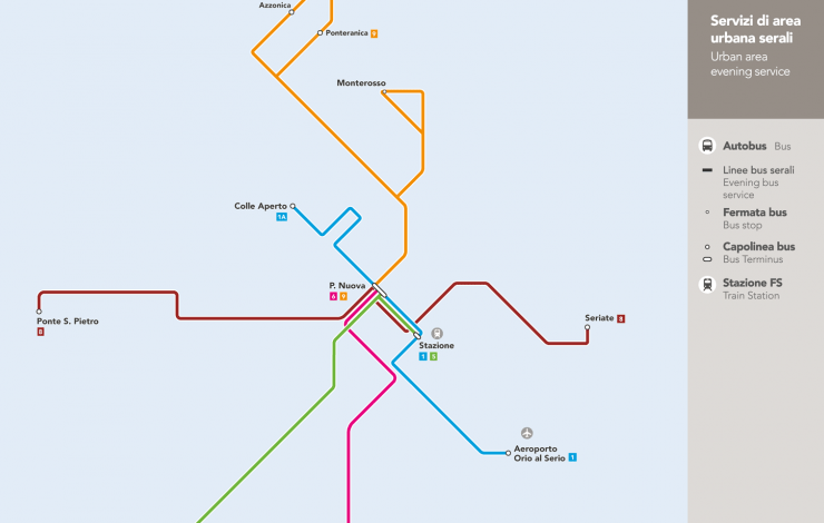
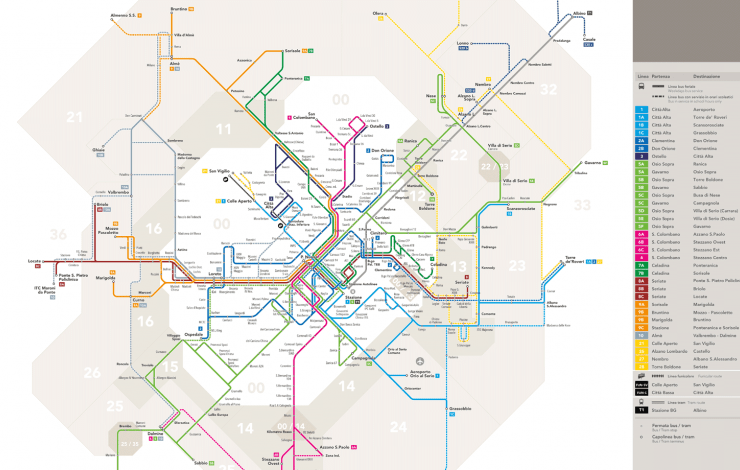
Steer developed a suite of new public transport maps for the city of Bergamo in Italy. The maps are set within the context of Bergamo’s wider initiatives aimed to improve integrated mobility, in which information plays a key role - as demonstrated by the success of the recently launched multimedia signage totems in Piazzale Marconi, another project delivered by our design team.
The new transport maps provide a clear, legible schematic overview of the public transport network in Bergamo and help users identify routes and fare information. The simplification of the network improved understanding of interchange points and available services.
The suite of maps also includes a network map for public holidays and evening services.


